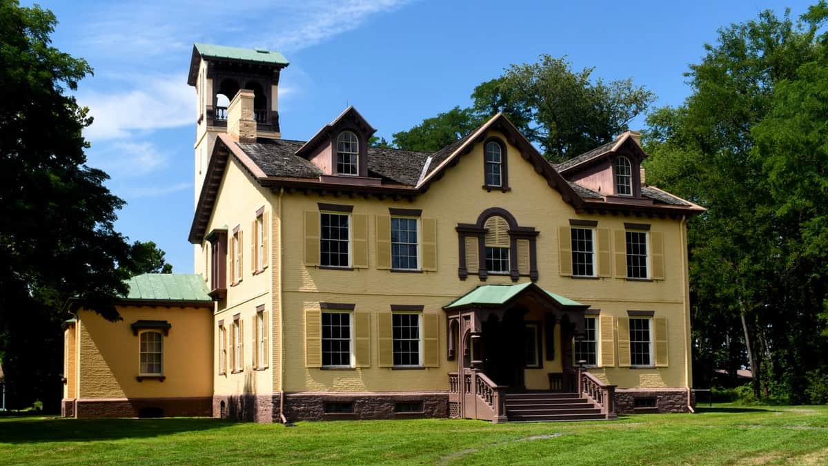
Glasscock County. Lying at the foot of the Plains region of West Texas and originally a part of Tom Green County, Glasscock County was created April 4, 1887, but the county government was not organized until March 28, 1893. It was named in honor of George W. Glasscock, a participant in the Texas Revolution and a prominent citizen of Williamson County, whose first name is now carried in the county seat of Williamson [sic - Georgetown].
While the county still has a meager population, its development has been fairly rapid since the beginning of the present century. Up to that time its level area was occupied only by cattlemen with their outfits, and in 1890 the population enumerated by the census was 208, and in 1900 only 286. At the last census the population was 555. While the county has no railroad, it is included in the belt of country developed by the Texas & Pacific Railway, and the chief market towns and shipping centers are Midland and Big Springs on that road. The chief topographical feature of the county is the North Concho River, with several tributaries, but the main source of water supply is the underground sheet of water found beneath most West Texas counties, and for a number of years the farmers and stockmen have used wells driven by windmill power to pump water for stock and also, to some extent, to irrigate the small truck and other crop fields. The county seat is Garden City, and there are one or two other small village centers.
At the last census 165 farms were enumerated as compared with 49 in 1900. The total area of the county is 554:240 acres, of which 356,720 acres were reported as included in farms, and of that amount "improved land" was only 1,100 acres. Naturally, the stock interests are the chief resources. The last census enumerated cattle, 12,114; horses and mules, 1,204, and sheep, 12,960. While the growing of vegetables and fruits has proved profitable through the aid of irrigation, the chief crops are those adapted to dry farming methods. In 1909, 1,966 acres were planted in kaffir corn and milo maize ; 1,811 acres in cotton ; 1,577 acres in hay and forage crops, and 259 acres in corn. About 2,000 trees were enumerated in orchard fruits.
In 1903, the valuation of property was $1,032,391: in 1909, $1,944,123 ; in 1913, $1,926,038 ; in 1920, $2,019,072. - History of Texas, 1922, by W. Barrett Travis.
31° 51' 50.04" N, 101° 28' 52.32" W
See map: Google Maps, Yahoo! Maps, MapQuest


